


by Joshua-Engel Yan, Managing Associate
So how is life in the big, bad private sector?
After 15 years of serving the public sector at a regional transportation authority, I made a mid-career jump to a boutique consulting firm. Many people have asked me about the new gig.
Here are 6 reflections at the 6-month mark.
Interested in a move to consulting? I hope these reflections are useful.
You made a similar shift? Let me know if you have anything to add.
1. I left the keys at the door (and picked up new ones)
In leaving a leadership position on a major transit program, I was surprised to experience ‘decision withdrawal’.
In my current role, I regularly advise on important decisions with our public sector clients, but I do miss the ability to set the decision agenda and be directly involved in tough project choices, sharing in the glory (or pain) with the team.
On the other hand, as a Managing Associate for a boutique consulting firm, I have much more influence over the direction of the organization than I ever did in my old job – org structure, recruitment, office layout, what new practice areas we pursue, etc.
It’s a ‘choose your own adventure’ opportunity to grow a business.

Consulting offers a ‘choose your own adventure’ opportunity to grow a business.
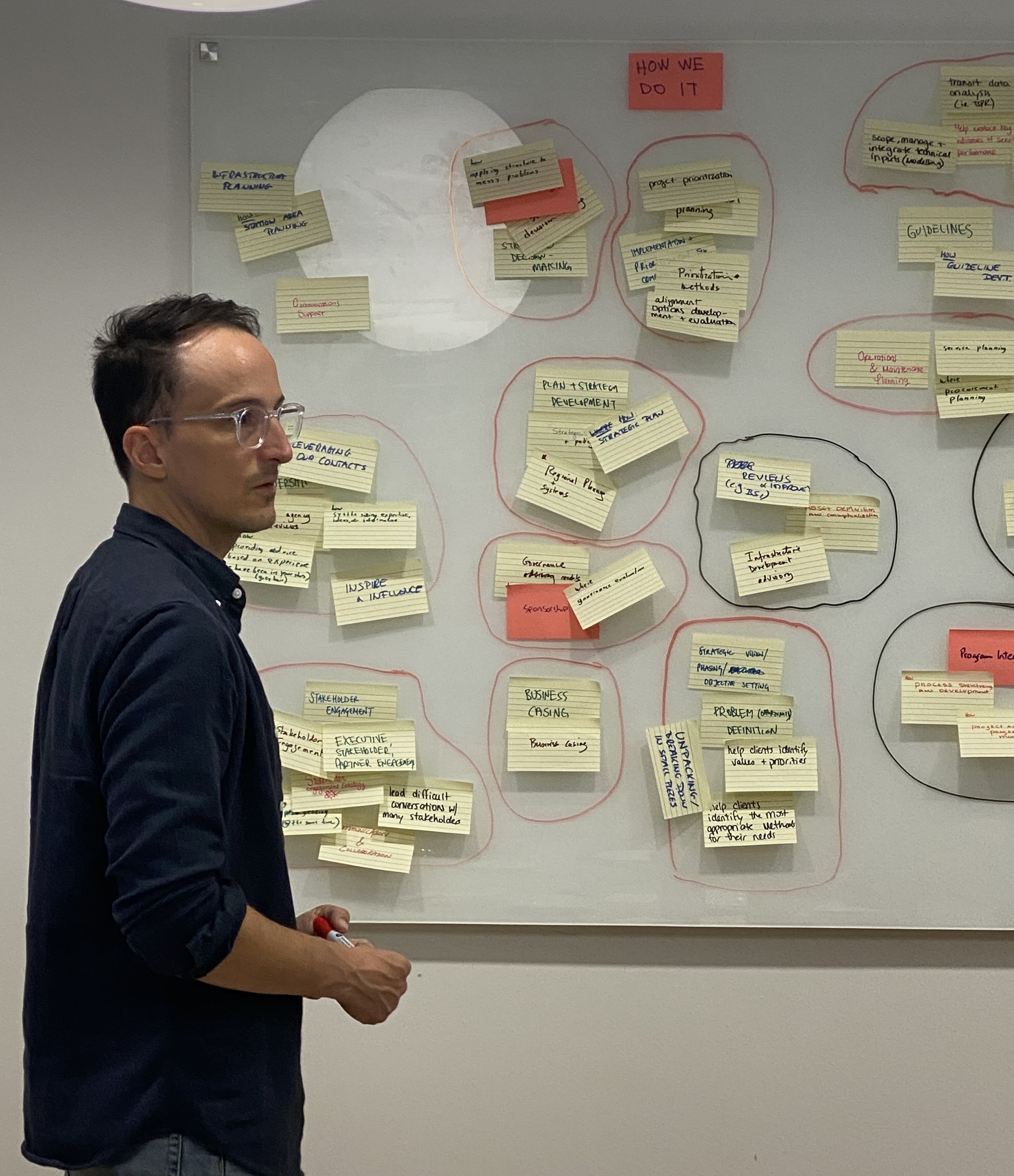
2. The work switched from ‘directing and navigating’ to ‘thinking and developing’
The daily work activities are quite different. Leaders in a public sector organization spend many hours on the important, but draining, process of navigating decisions through the bureaucracy.
The life of a consultant is juggling your time between client delivery, practice development, and thought leadership.
The opportunity to put more time towards creative problem solving has been a treat!
But aren't the hours way longer in consulting? Before, I blocked my evenings and weekends for family time unless I had a stakeholder meeting, board report, or other major time sensitive deliverable. That hasn't changed significantly with the move to the private side.
3. You need to reverse-engineer what you know to add value, i.e., crystallized + fluid intelligence
After 20 years in the transportation/infrastructure space, I know that I know lots of stuff. You could call this knowledge, experience, or wisdom. Psychologists call this ‘crystallized intelligence’.
As a consultant, I have started working on projects for organizations across North America. This has been a test of my ability to learn, assess, and navigate new situations. The same psychologists call this component of intelligence ‘fluid intelligence’. It includes your adaptability, creativity, and reasoning.
On each of these projects, I am challenged to flex my fluid + crystallized intelligence to deliver high value advice.
In other words, to take what I know, quickly break it into its component parts, and determine if and how it is applicable to new client contexts and problems. This problem-solving has been very stimulating and an opportunity to consolidate (and challenge) my knowledge in the field.

4. There is a whole world out there and every organization is unique (and the same)
What makes an organization unique? After 15 years at one organization, moving to consulting has provided an opportunity to work with a diverse set of client organizations. They have different regional contexts and governance structures, with their own priorities, strengths, and challenges.
Of course, this means that lessons learned from one organization are not relevant to another. Right?
Bent Flyvbjerg define the term ‘uniqueness bias’ in project management as the tendency of planners and managers to see their projects as one of a kind (Flyvbjerg, 2021). Flyvbjerg et al (2024) found a highly statistically significant association between a projects’ perceived uniqueness and cost overrun. If project managers believe their project is unique, then they have little to learn from other projects, which contributes to project underperformance.
Organizations have a similar tendency to perceive themselves as unique. Just ask any consulting firm about their service offering!
Most client organizations have more in common than not, despite regional differences. As a consultant with an outside view, it is often easier to see their strengths and weaknesses and how they can learn from each other.
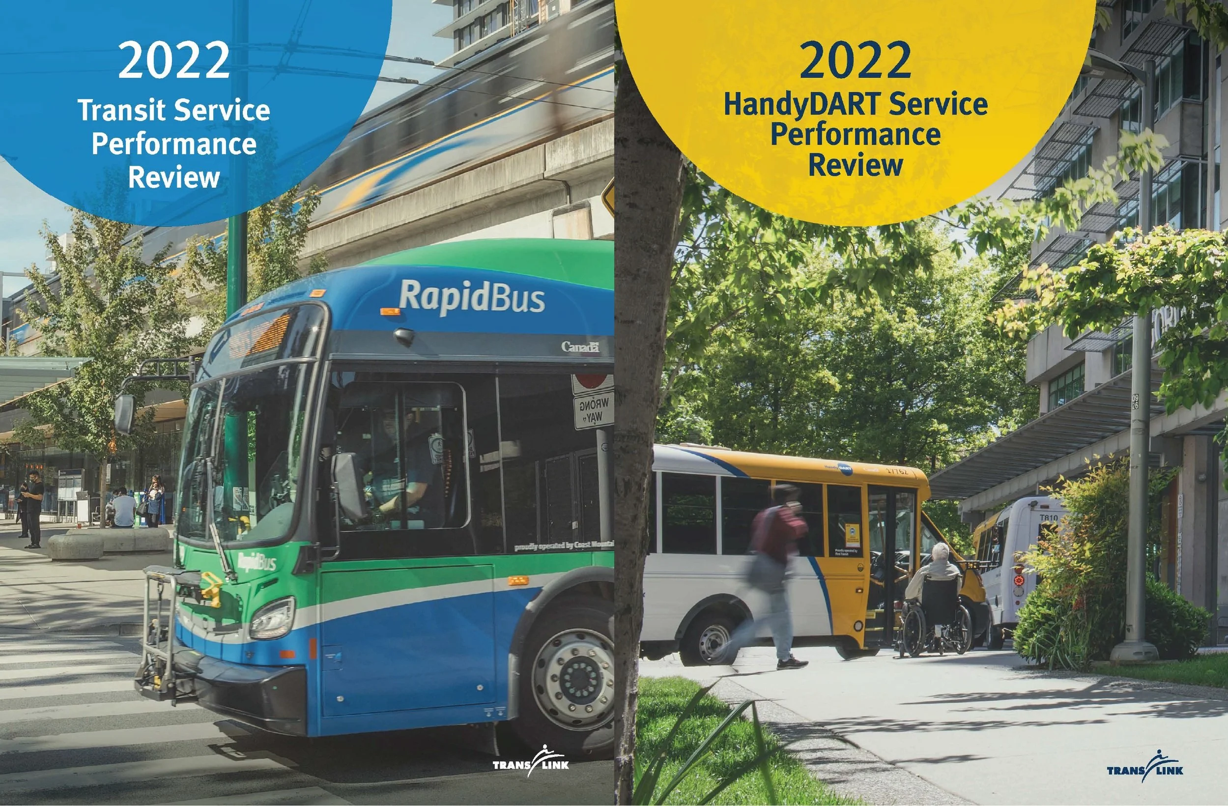
For example, I have been pleased to be able to create a network for transit delivery organizations to engage and share lessons learned on new contracting methods.

5. Relationships are currency (but not in an icky way)
Consulting is a people business built on trust. As my boss likes to say:
“We are not in the transportation business. We are in the relationship business.”
My last job sponsoring a transit megaproject was also a people job. I could not have been successful without strong relationships with the delivery team, project partners, and government funders.
However, now a more explicit part of the consulting gig is connecting with existing and potential clients, partners, and thought leaders. Coffees, lunches, conferences, and, yes, LinkedIn posts 😊! Building, maintaining, and cultivating relationships has moved up from something I do off the side of my desk to a core aspect of the job.
I love people, learning, and new ideas, so this has been a huge plus!
6. I still work for a mission and values-driven organization
So how is life in the big bad private sector?
Well, I left a mission and values-driven large public sector organization for a mission and values-driven small company.
Of course, we need to raise sufficient revenue to turn a profit, but the focus is on ideas and the work.
We only bid on work that aligns with our mission to build better cities accessible to all. The team is committed to moving the needle and tries to guide clients in the direction that will have the greatest impact, even if the result is a harder deliverable or putting in longer hours. I know this is not the practice of every consultant firm, especially companies that are publicly traded, which is a big part of the appeal for where I am.
Thinking about a move to consulting?
If you are thinking about a move to consulting, a few questions to ask yourself:
Do you have industry expertise, do you see problems, and have ideas for how to fix them?
Do you have confidence in your ideas, and can you articulate them clearly?
Can you quickly diagnose problems and understand new contexts?
Are you adaptable to feedback?
Are you okay with playing an advisory role and not always being directly involved in decision making?
Does the challenge of growing a business that does good work excite you?
Are you energized by connecting with people and the exchange of ideas?
I hope these reflections are useful for anyone thinking about a move to consulting. It has been an exciting career choice. Six months in, I am very happy I made the move!


